Use your location and we'll scan the surrounding sky-brightness data to find the darkest spot within 25, 50, 100, and 200 miles of you.
Enter two spots to see which one has the darker sky.
Pick a US state and we'll scan it for the darkest spots to shoot the Milky Way.
Pick a state to see its officially DarkSky International-certified parks, reserves, sanctuaries, and communities — with a live Bortle estimate for each.
List compiled from DarkSky International's public place designations — new parks are certified throughout the year, so this may not be 100% complete or current. See the full, live-updated list at darksky.org.
A few of my personal favorite spots for shooting the Milky Way, with a live Bortle estimate for each.
Ready to plan your shoot?
Pick the best night to go with my free Milky Way Planner
See exactly when the core is visible, moon phase, and the best viewing window for any location and date — completely free.
Open Milky Way Planner →A 1-to-9 scale astronomers use to describe how dark a night sky is. Lower is darker and better for seeing faint objects like the Milky Way.
Aim for Bortle 4 or darker
The Milky Way's core is usually visible to the naked eye by Bortle 4, and genuinely striking by Bortle 3 or better. In Bortle 5-6 you can often still capture it with a camera even when it's hard to see by eye.
Check the moon phase too
A bright moon washes out faint sky detail just like light pollution does. Dark skies and a new moon together give you the best shot at seeing the Milky Way's full structure.
Terrain and weather still matter
This map estimates sky glow from satellite data — it can't see local terrain blocking your horizon, incoming clouds, or a single bright streetlight right next to your spot. Use it to narrow down a region, then verify in person if you can.
Small distances can make a big difference
Driving even 20-30 minutes away from a town's direct glow often drops you a full Bortle class or more. Zoom in and drop a few pins around your planned spot to compare.
What is the Bortle scale?
A 1-to-9 scale astronomers use to describe how dark a night sky is, from Bortle 1 (an excellent truly dark site where the Milky Way casts visible shadows) to Bortle 9 (inner-city skies where only the Moon, planets, and a handful of bright stars are visible).
How accurate is this map?
The underlying data comes from the World Atlas of Artificial Night Sky Brightness, a satellite-derived model of sky glow. It's a genuinely useful planning tool, but actual darkness at a specific spot also depends on terrain, weather, moon phase, and nearby direct light sources a satellite can't fully see — treat the number here as a strong estimate, not a lab measurement.
Is this free to use?
Yes, completely free, with no account or sign-in required.
What Bortle class do I need to see the Milky Way?
The core is usually visible to the naked eye by Bortle 4 and becomes genuinely striking by Bortle 3 or darker. In Bortle 5-6 suburban skies you can often still capture it with a camera even when it's hard to see by eye.
Light pollution data from the World Atlas of Artificial Night Sky Brightness. Treat estimates as a planning guide, not a guarantee.
More light pollution data at djlorenz.github.io →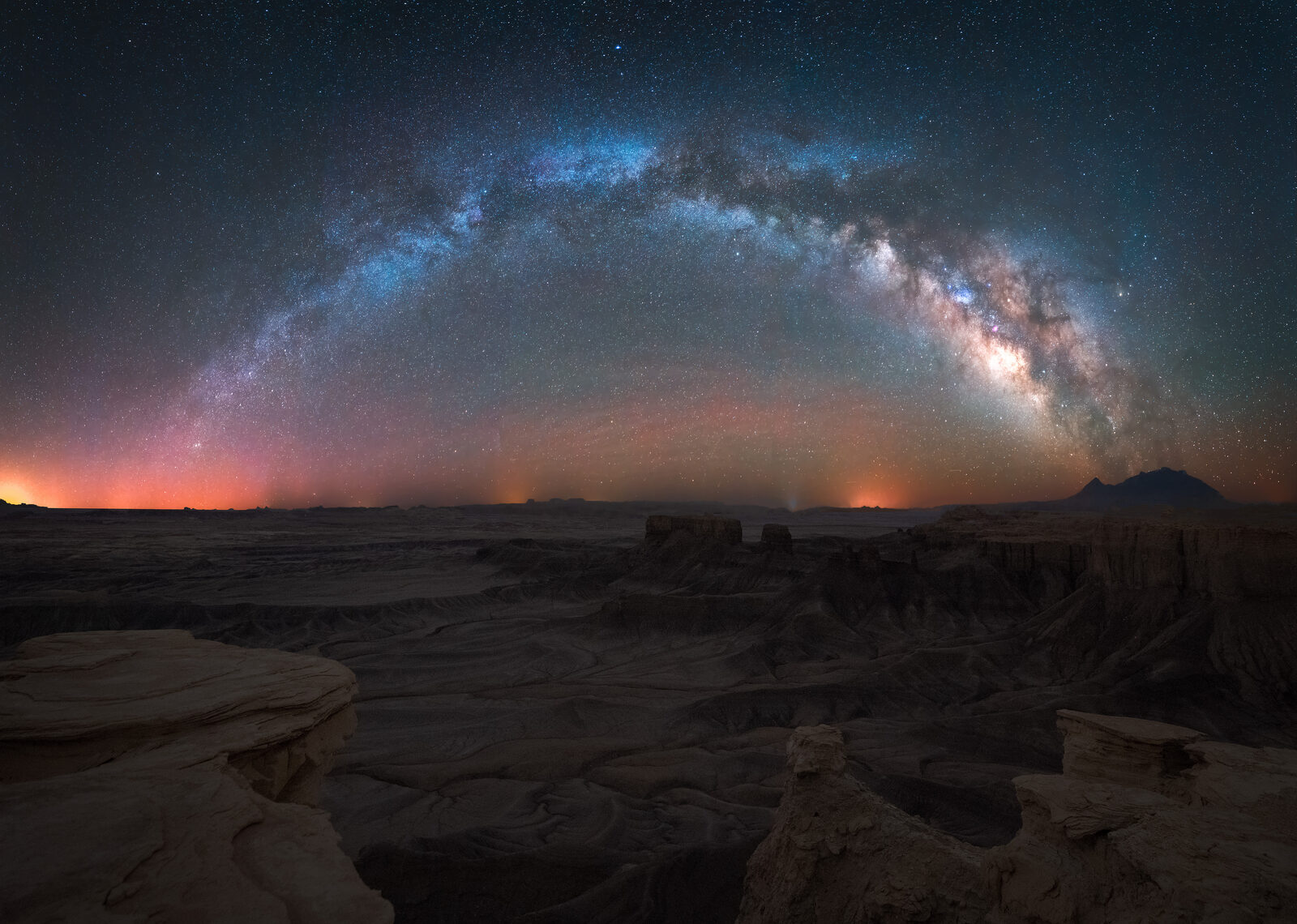
Photo by Derek Sturman
Check Out My Work